


Canon lets you shoot photos from space with its new CE-SAT-1 microsatellite emulator
Jan 15, 2021
John Aldred
John Aldred is a photographer with over 25 years of experience in the portrait and commercial worlds. He is based in Scotland and has been an early adopter – and occasional beta tester – of almost every digital imaging technology in that time. As well as his creative visual work, John uses 3D printing, electronics and programming to create his own photography and filmmaking tools and consults for a number of brands across the industry.
Share:

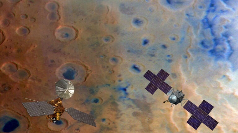
While Canon might’ve suffered something of a setback with the destruction of its CE-SAT-1B satellite last year, it does still have the original CE-SAT-1 flying over the planet, with plans to launch more. In the meantime, though, they’ve launched a new website that allows you to shoot photos with the $9 million satellite, launched in 2017.
You don’t get free run of the planet, of course, but Canon’s new Redefine the Limits website allows you to look through a select number of views on different parts of the Earth to pan and zoom and shoot a photo – along with latitude, longitude and altitude data, with the Canon EOS 5D Mark III flying 500 kilometres above the surface.

Yes, the Canon CE-SAT-1 is equipped with a Canon 5D Mark III, which is capable of imaging a ground area of 6×4 kilometres with a resolution of around 1 metre (1 pixel = 1 square metre). And ok, sure, it’s not quite Google Maps, but it’ll be interesting to see what services Canon may open up in the future with its satellite imagery.
The Redefine the Limits website offers a lot more information than just being able to view scenes from the satellite, too. The site covers many of the different genres captured with Canon camera equipment as well as highlighting a number of Canon’s other technologies.
[via CanonRumors]

John Aldred
John Aldred is a photographer with over 25 years of experience in the portrait and commercial worlds. He is based in Scotland and has been an early adopter – and occasional beta tester – of almost every digital imaging technology in that time. As well as his creative visual work, John uses 3D printing, electronics and programming to create his own photography and filmmaking tools and consults for a number of brands across the industry.
Related Posts
 Canon’s CE-SAT-IB imaging satellite “destroyed” during rocket launch
 We sat down with 4 top creatives to talk about success, failure, fears and joy, Here is what they had to say
 This DIY 3D printed trinocular lens lets you lets you shoot digital wigglecams with your Sony camera
 Canon finally lets the EOS M6 Mark II shoot 24p with new firmware update
Join the Discussion
DIYP Comment Policy
Be nice, be on-topic, no personal information or flames.
One response to “Canon lets you shoot photos from space with its new CE-SAT-1 microsatellite emulator”
Area 51, someone?